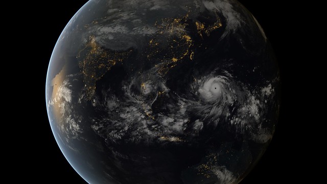
One year after superstorm Sandy became the largest Atlantic hurricane on record, Super Typhoon Haiyan just became the strongest landfalling tropical cyclone on record, hitting the Philippines with sustained winds of 190-195mph and gusts to 235mph. That's as strong as a top-of-the-scale EF-5 tornado ... except Haiyan's eye is eight miles wide.
Why is the storm so historically strong? NOAA blames warm deep water. When climate science deniers claim a global warming "pause," the heat isn't missing - it's right there lurking in the ocean, waiting to put super typhoons on steroids.
Better burn all the coal and oil while we still can.

No comments:
Post a Comment